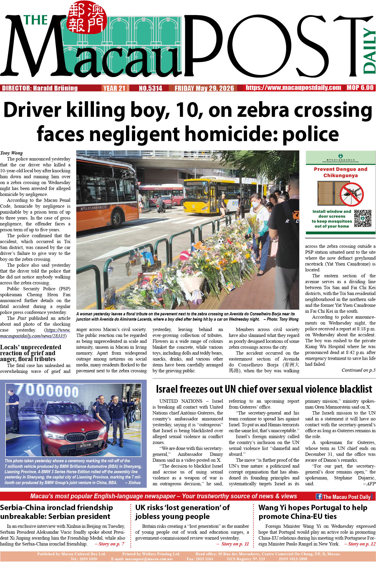
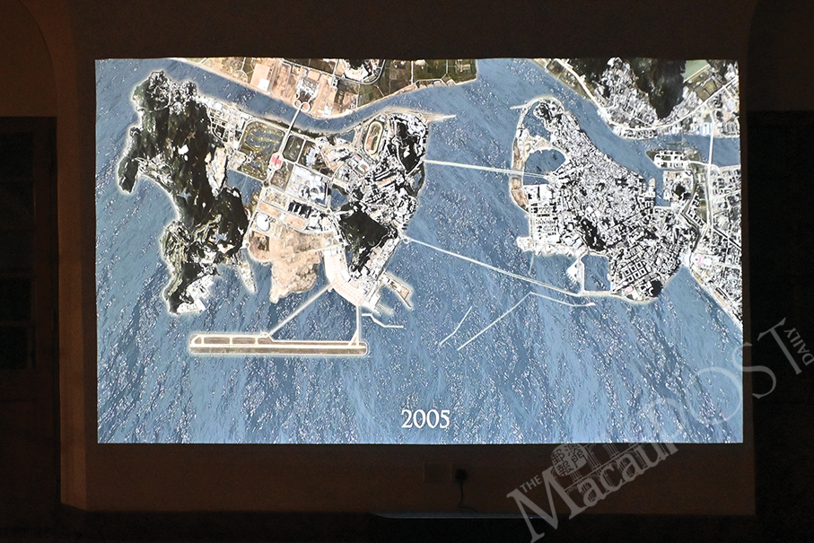
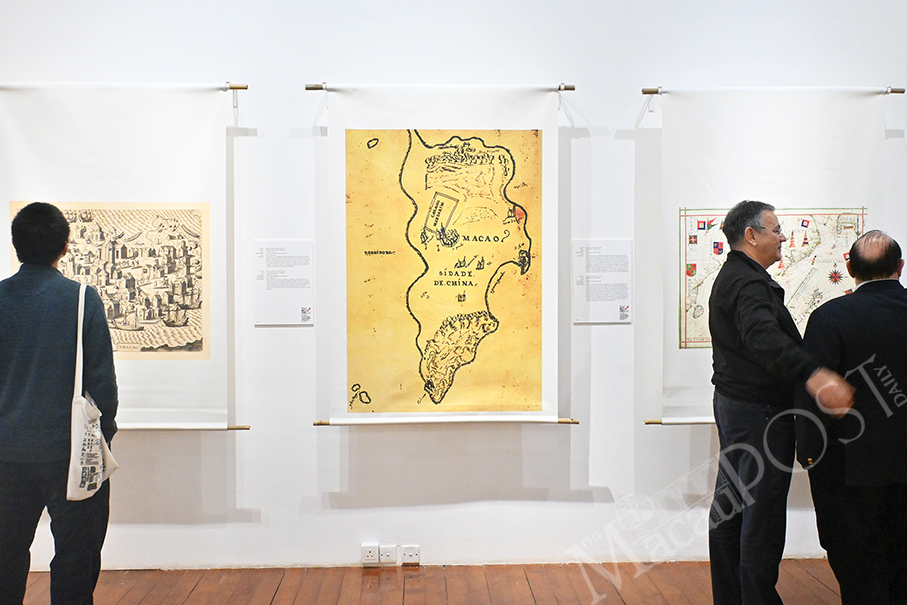
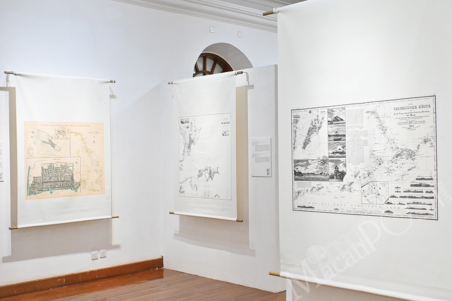
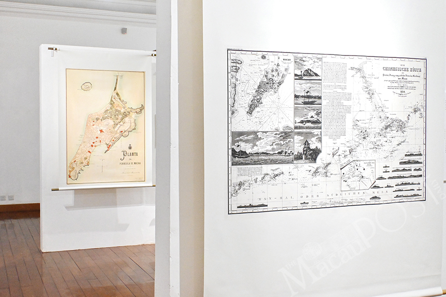
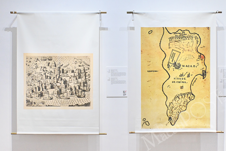
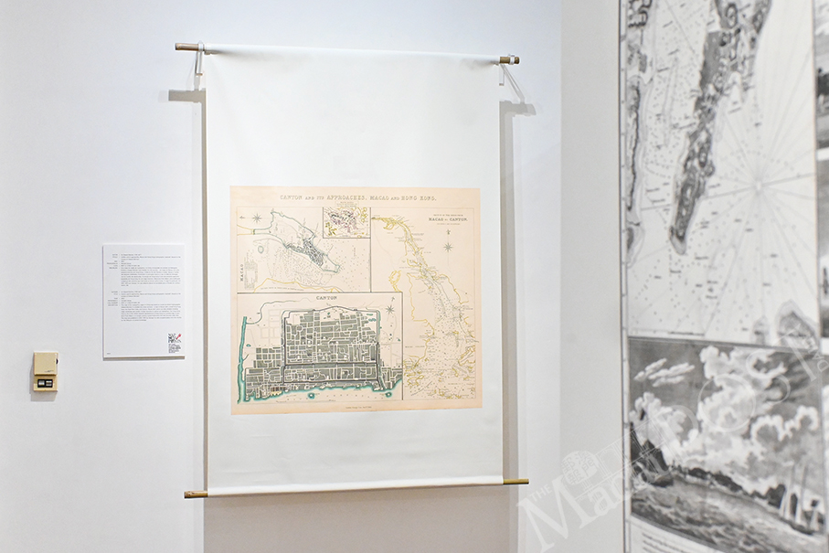
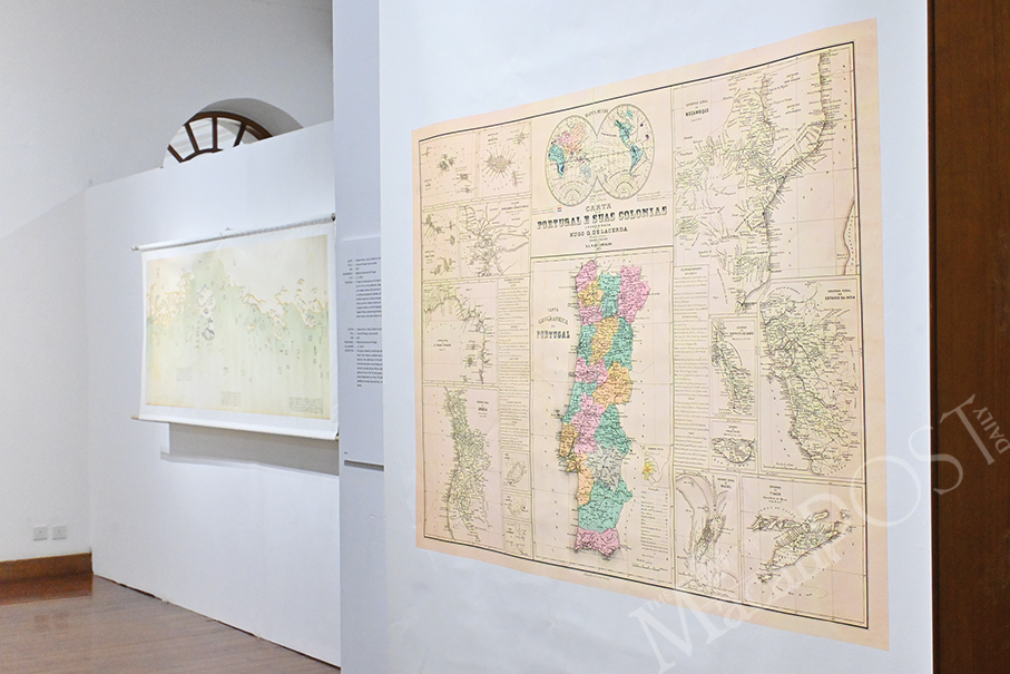
One can explore Macau’s geographical and socio-economic transformation in an exhibition at Casa Garden entitled “Mapamorphosis: 500 Years of Macau Cartography”.
Cartography refers to the science or practice of drawing maps.
The free-admission exhibition, which kicked-off before the Chinese New Year (CNY) holiday, showcases maps from a wide range of sources, along with a video projection by the exhibition’s Curator and Multimedia Director Pedro Luz, altogether showcasing the entrepôt’s transformation over five centuries.
A statement provided at the opening ceremony added that the exhibition “represents an important cartographic collection of Macau with clear paedagogical and didactic interest, using new technologies”.
In his remarks at the opening ceremony, Marco Rizzolio, who conceived the original concept and idea for the exhibition, said that 34 specially selected maps are on display. Rizzolio added that he came up with the idea for the exhibition during a lecture on regional economics at the City University of Macau’s Faculty of Business in 2019.
Regional economics, Rizzolio noted, is about topics such as the study of the development of regions and has a lot to do with locations and urbanism. “One of the tools we use is maps. Maps are very important to study the development of economies, and this is how the idea came [about]”.
He also highlighted Luz’s role in curating and research, and his video projection at the exhibition, which is based on cartography, maps and satellite images. Following the opening ceremony, a seminar on the economic and urban development of Macau was held.
The exhibition, which is organised by Associação Cultural 10 Marias (10 Marias Cultural Association), lasts until March 17. One can visit it from 10 a.m. to 7 p.m. except Mondays. Admission is free.
Photos: Rui Pastorin