The latest version of the “Macau GeoGuide” app has recently been launched with enhanced travel route planning and map browsing functions, according to a statement from the Mapping and Land Registry (DSCC) yesterday.
The statement noted that the new features of the app, which is version 2.6, include the walking and driving routes, as well as light rapid transit (LRT) routes added to route planning function. Five travel route schemes are provided including the shortest walking, leisure, bus, LRT and driving routes.
The newly added LRT route scheme, the statement added, assists users to search for the appropriate stations near the start and end point, integrates results of walking and bus interchanges, as well as information such as walking paths, LRT stations or bus stops, number of stations passed, number of interchanges.
Satellite images through aerial photos are also added, which can be layered with street data for browsing, according to the statement. The statement said that this also gives users an aerial view of the “true aspect” of the city’s buildings and streets.
The app, which the statement said has had over 410,000 downloads, provides over 60 types of service locations including those in healthcare, housing and food. It can be downloaded through the App store and Google Play. More information can be found at https://www.dscc.gov.mo/geoguide/ios_android/default_eng.html
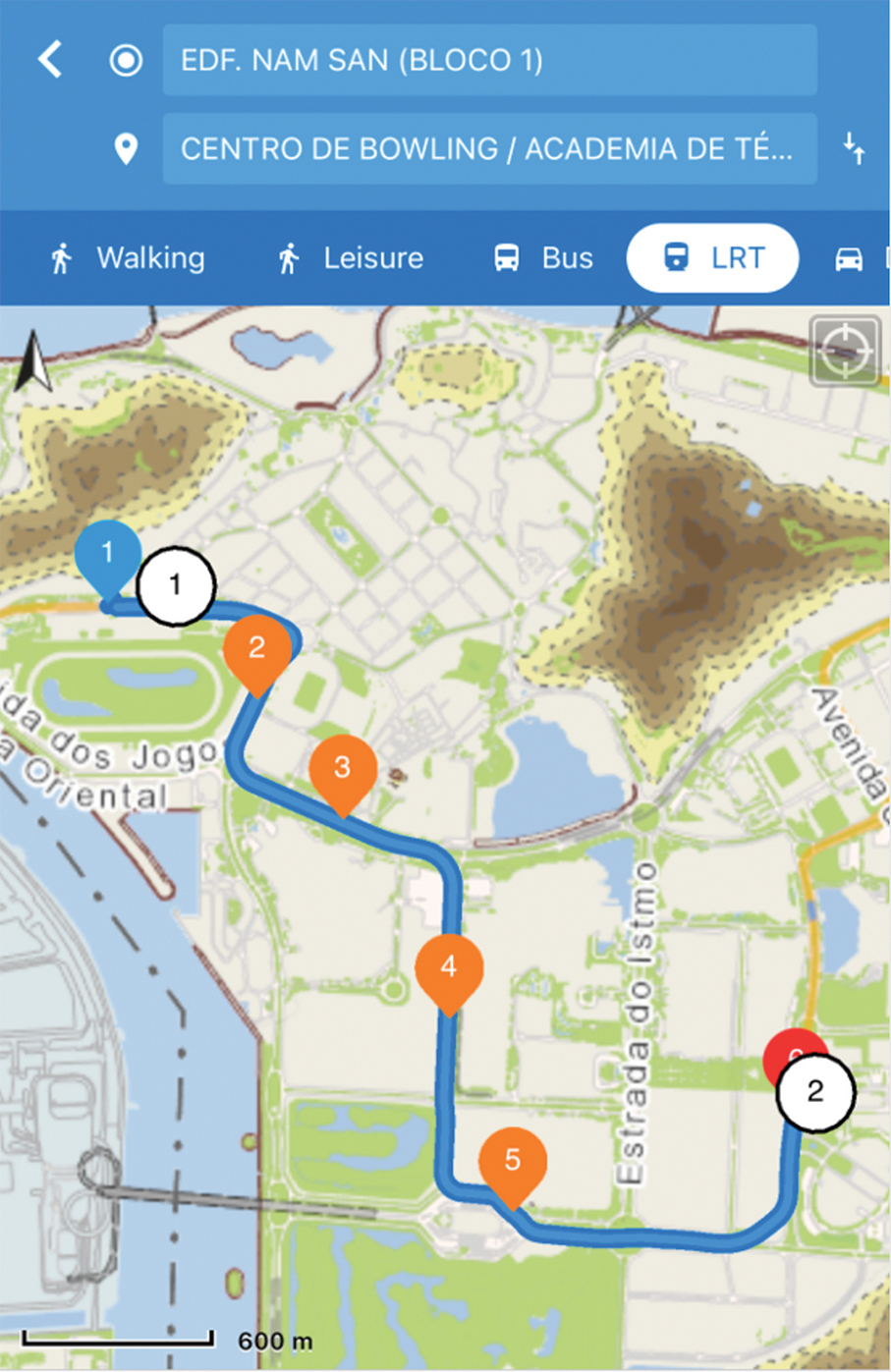
This image provided by the Mapping and Land Registry (DSCC) yesterday shows an LRT route suggested by the app.